Home»Blog
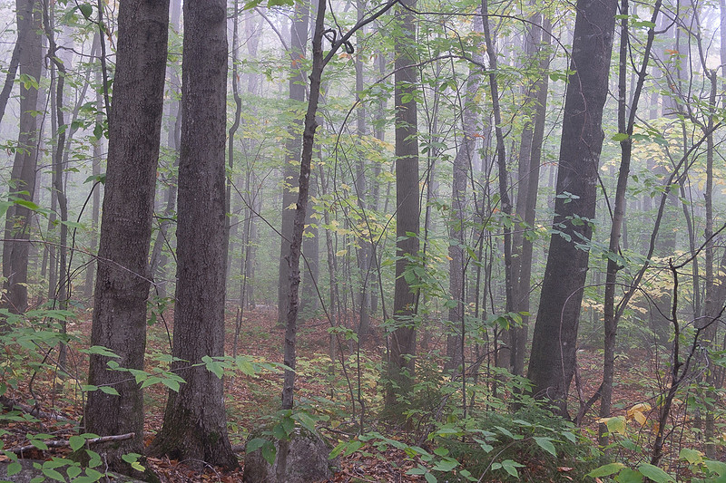
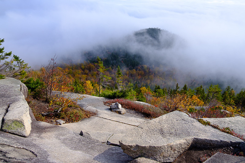
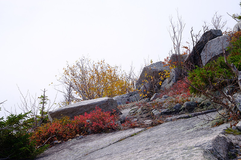
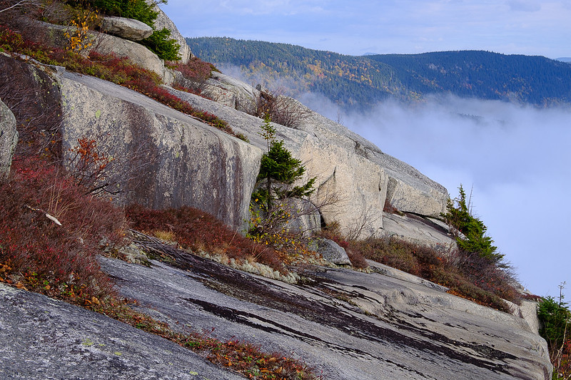
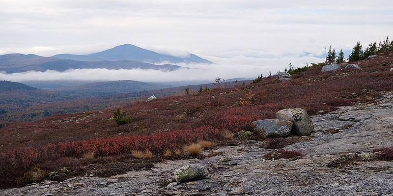
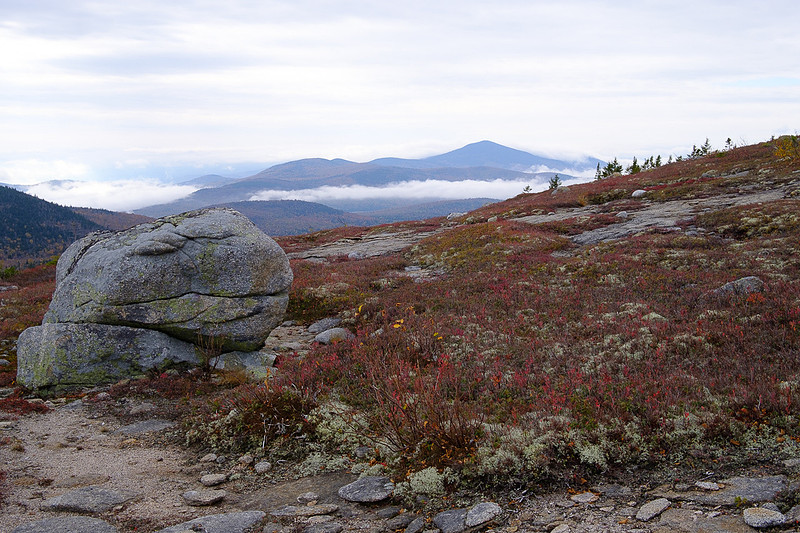
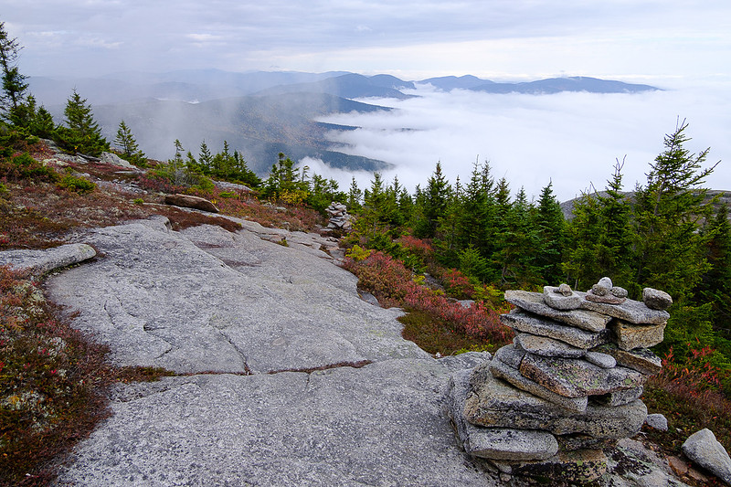
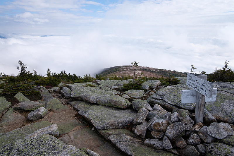
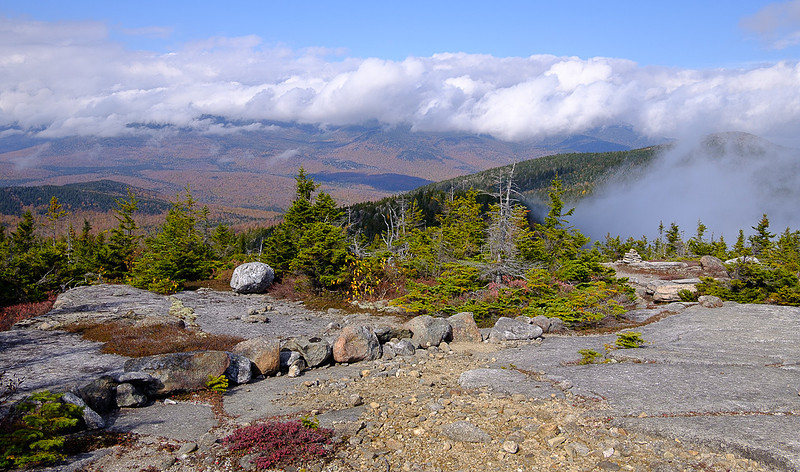
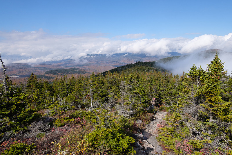
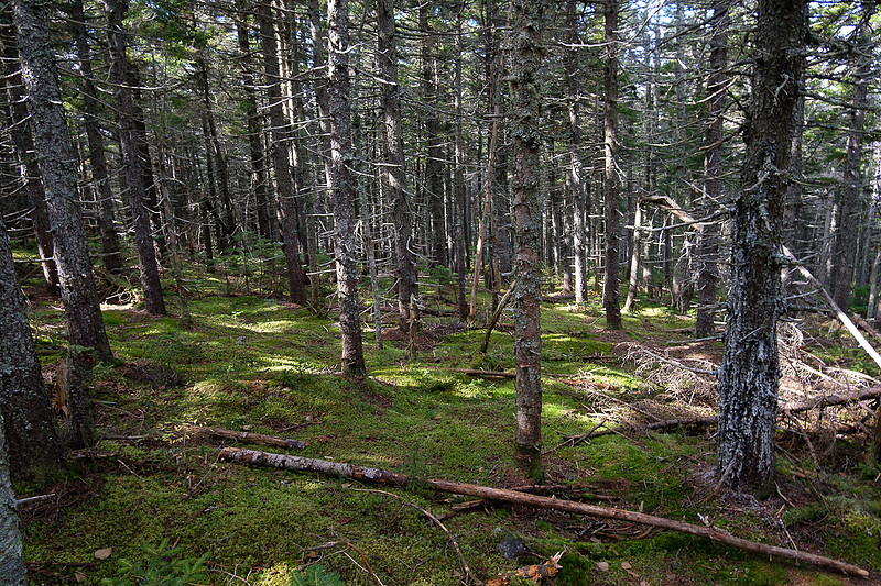
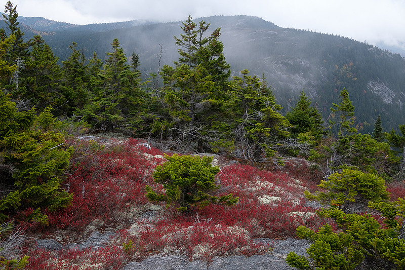
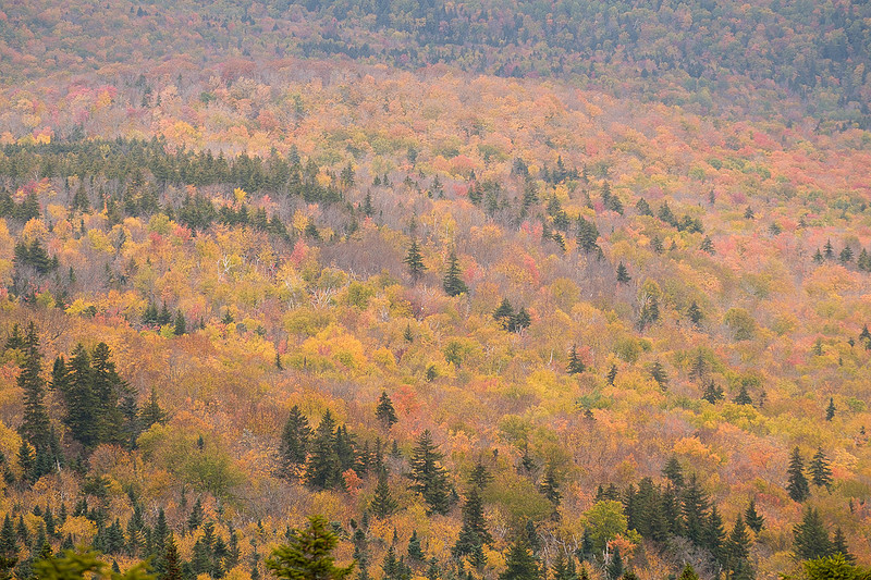
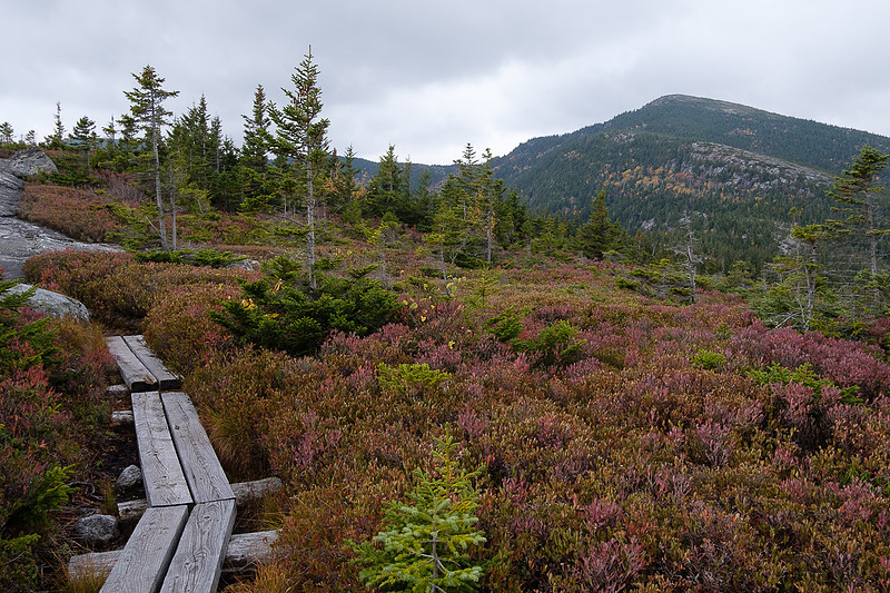
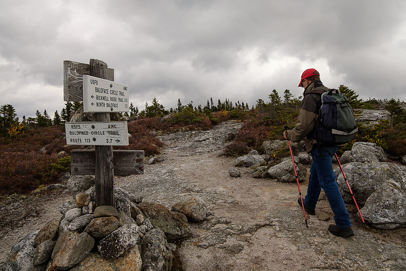
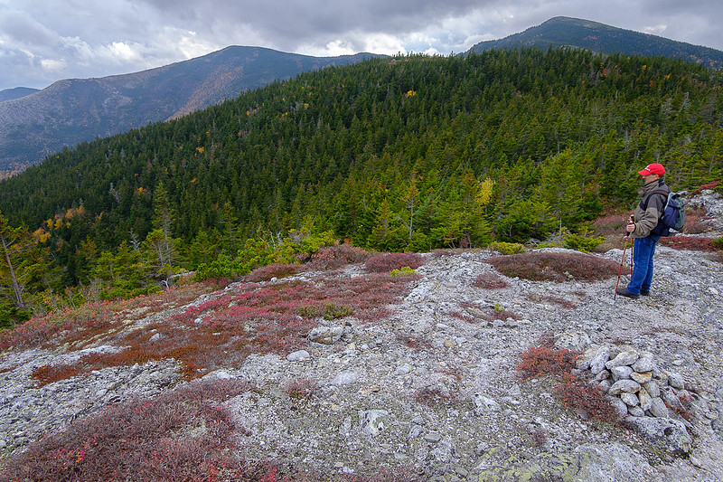
Baldface Circle TrailIt had to happen, hiking the Baldface Circle Trail again. This was back in October of course.
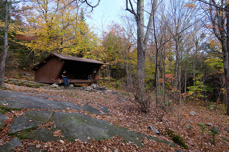
A break at the shelter before heading up over the ledges.
North Kearsarge back there; some day I still need to climb that.
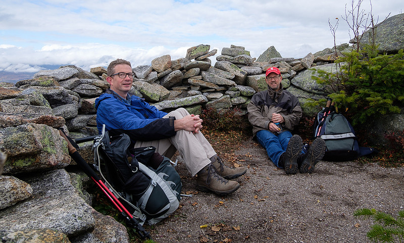
Sheltering from the wind.
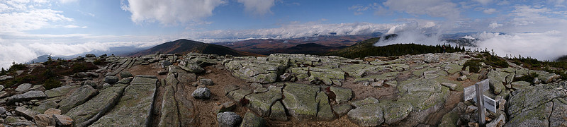
Summit panorama
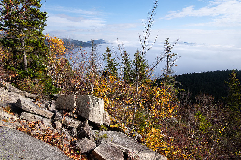
Looking back the way we came.
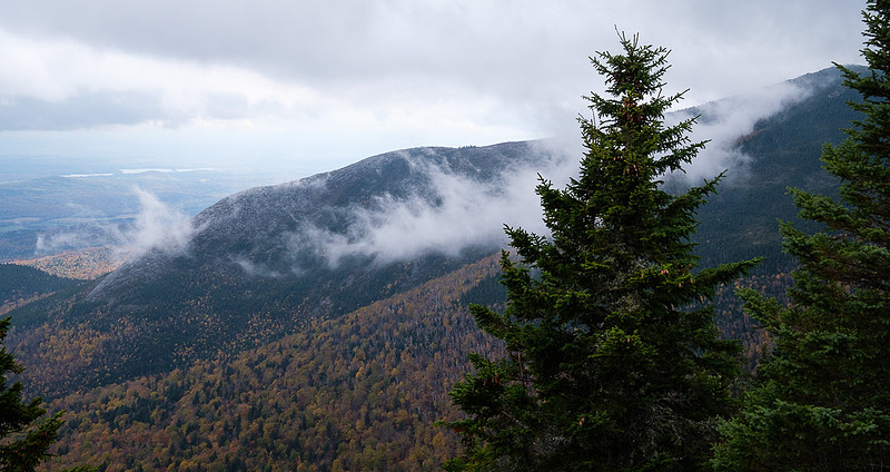
Mount Washington is in those clouds.
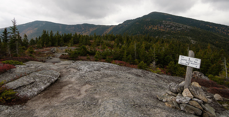
The trail on to North Baldface.
North Baldface's summit
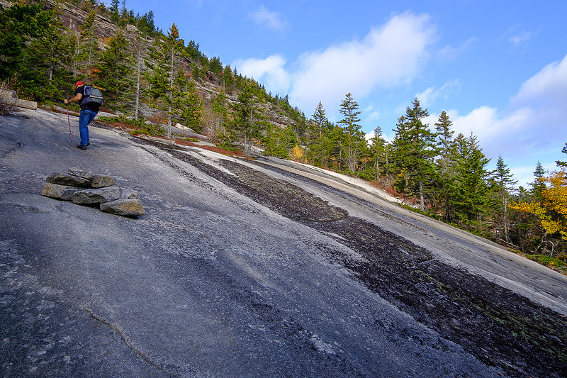
We climbed up those ledges.
Normally I use Bicknell Ridge Trail to descend but this time we continued over to Eagle Crag and descended on the rest of the Baldface Circle Trail.
Emerald Pool
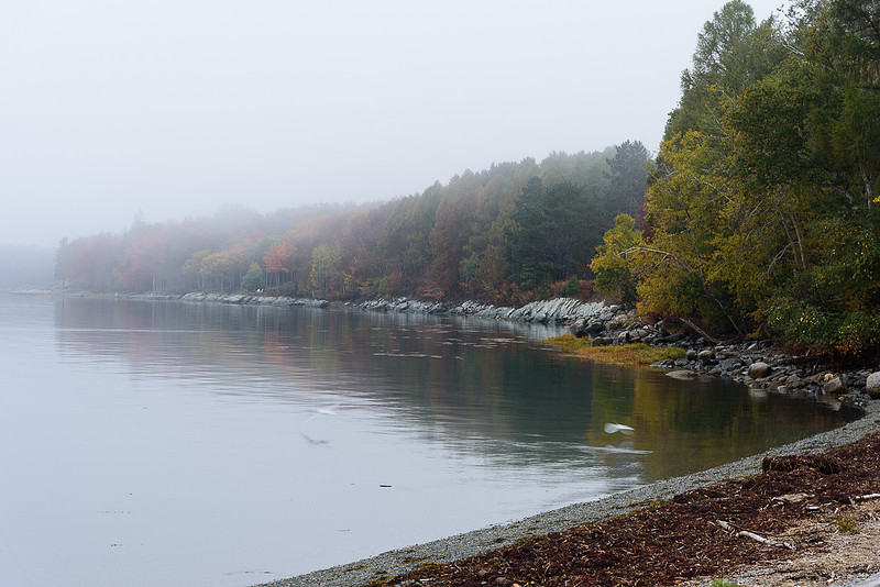
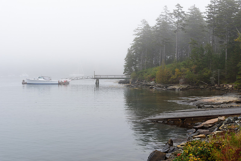
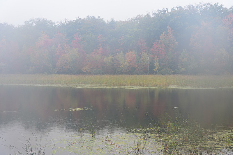
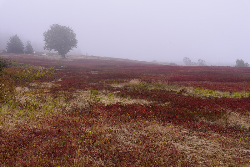
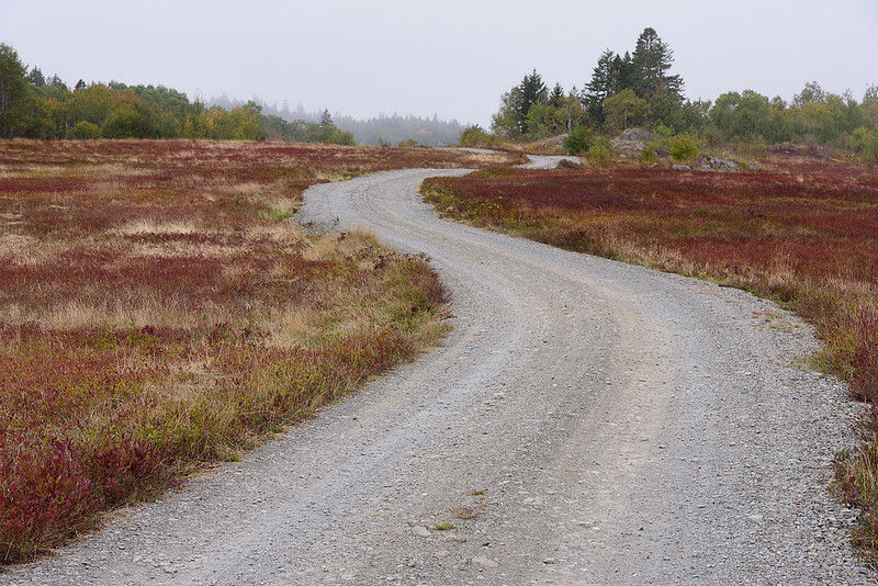
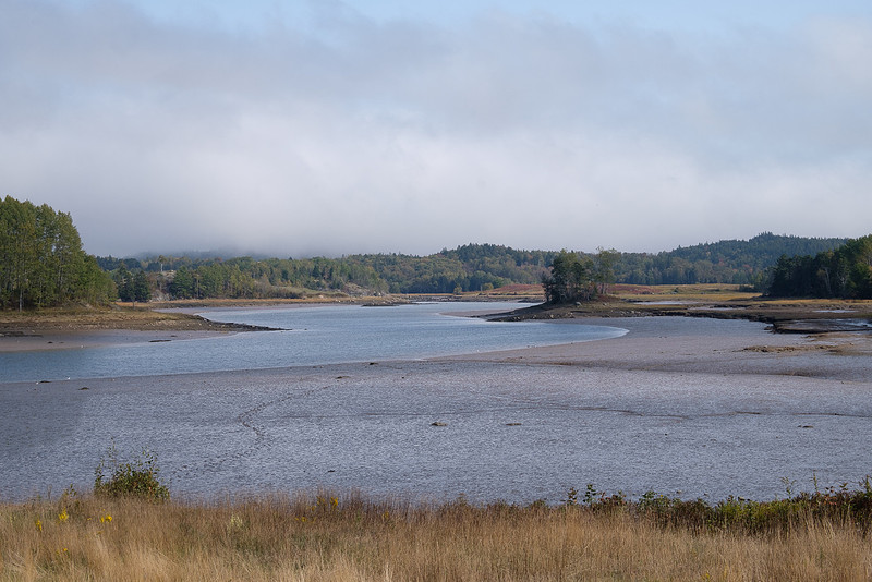
Acadia brieflyAfter this year's visit Downeast I had time for quick stops around Acadia National Park. Fog and showers dogged my steps, but it was beautiful still. Lamoine State Park on the mainland first.
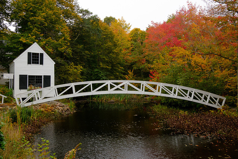
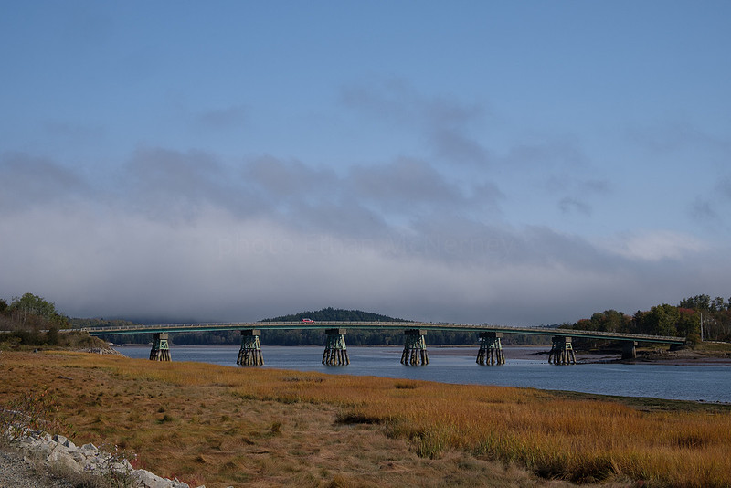
Somesville is often my first stop on the Island and here is the traditional bridge photo.
Then down to Northeast Harbor. A carriage path gatehouse on the way first.
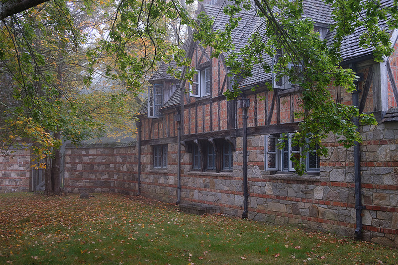
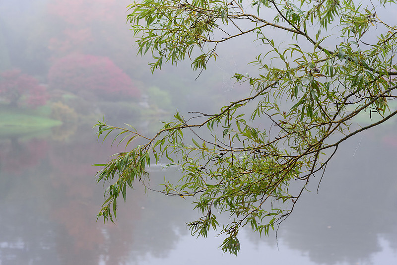
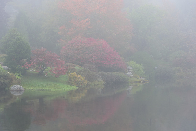
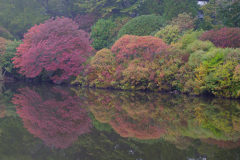
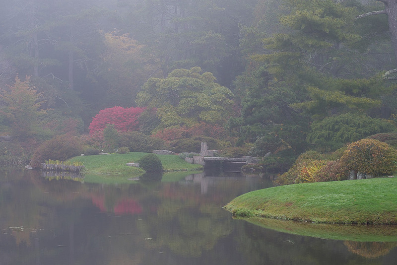
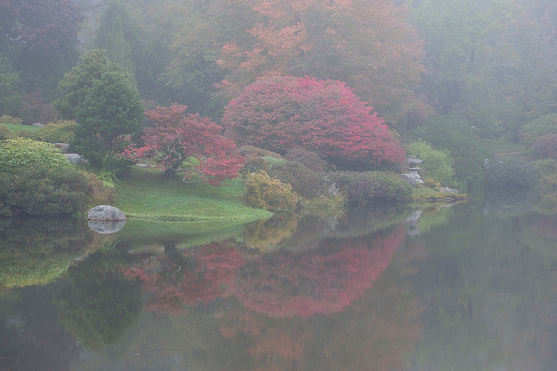
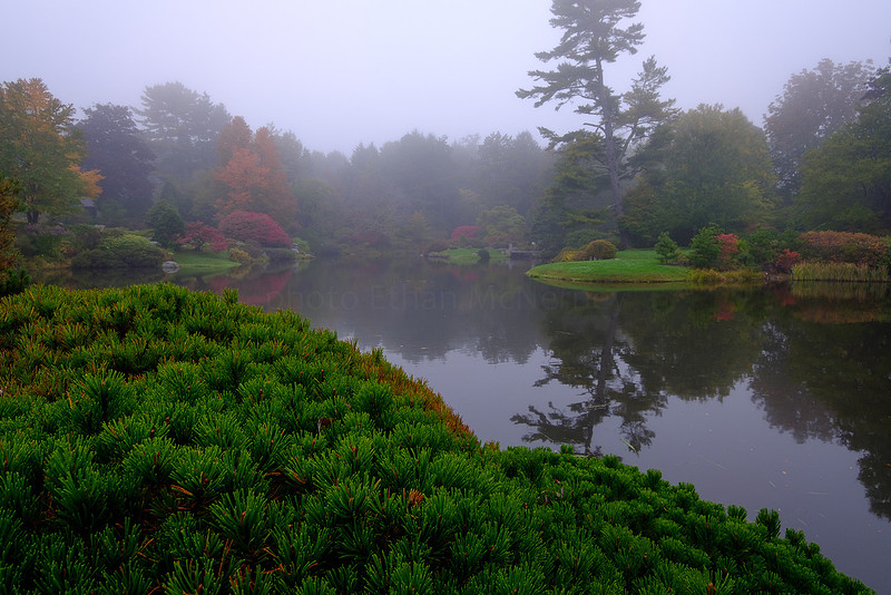
The Asticou Azalea Gardens were closed for maintenance so I had to do my viewing from outside the fence. This has always been a place I enjoy exploring with a camera.
After this was Seal Harbor.
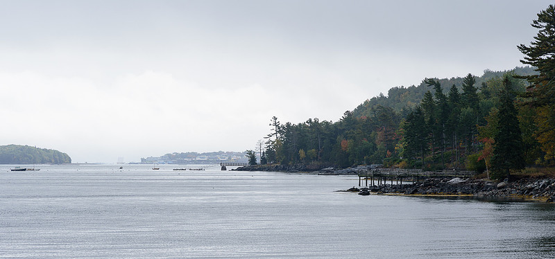
Then there was a break in the rain so before I left Mount Desert Island, I had a view back to Bar Harbor.
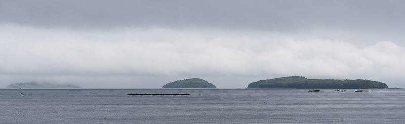
And the islands in Frenchmans Bay. The trip home wasn't over yet.
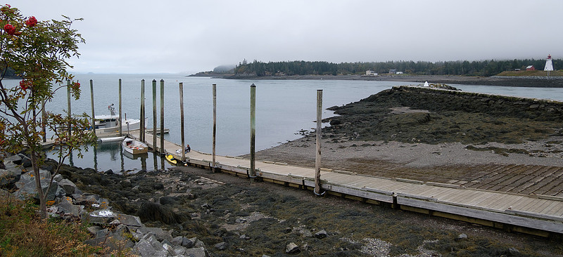
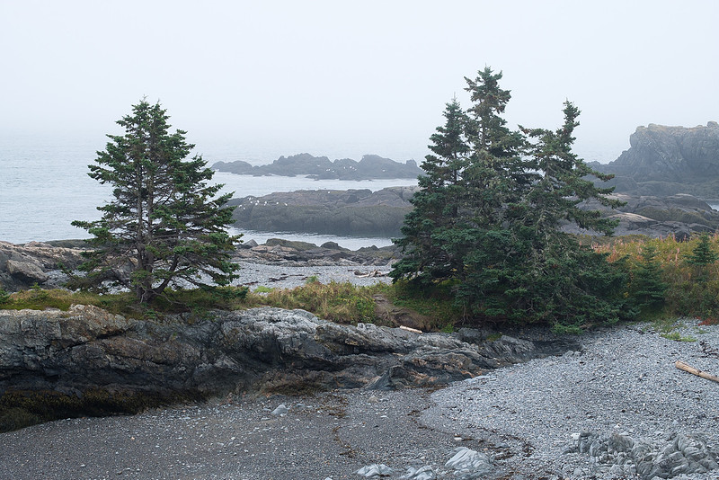
Revisiting Down EastTime to go back to Maine's Washington County and enjoy the rugged shoreline.
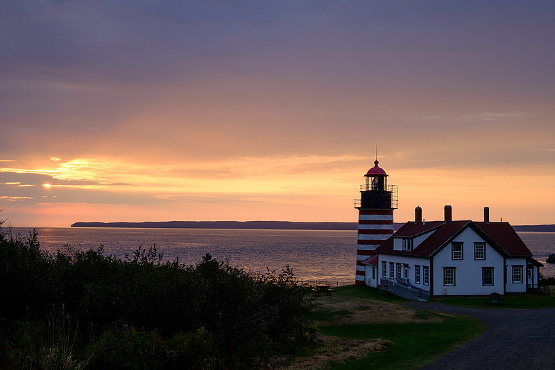
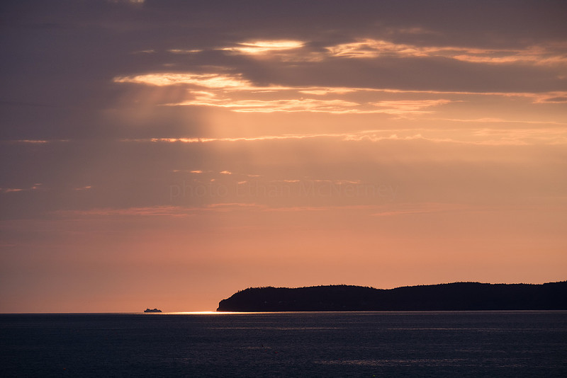
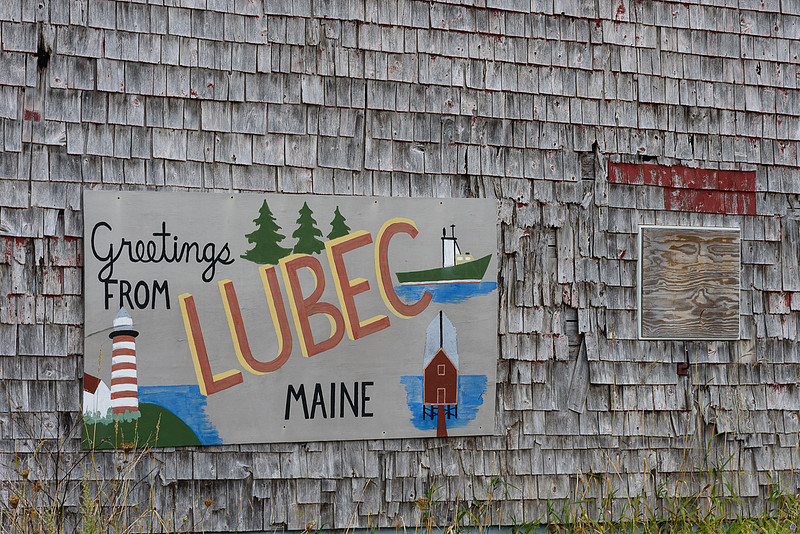
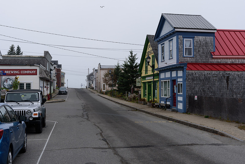
(Almost) sunrise at West Quoddy Head in Lubec.
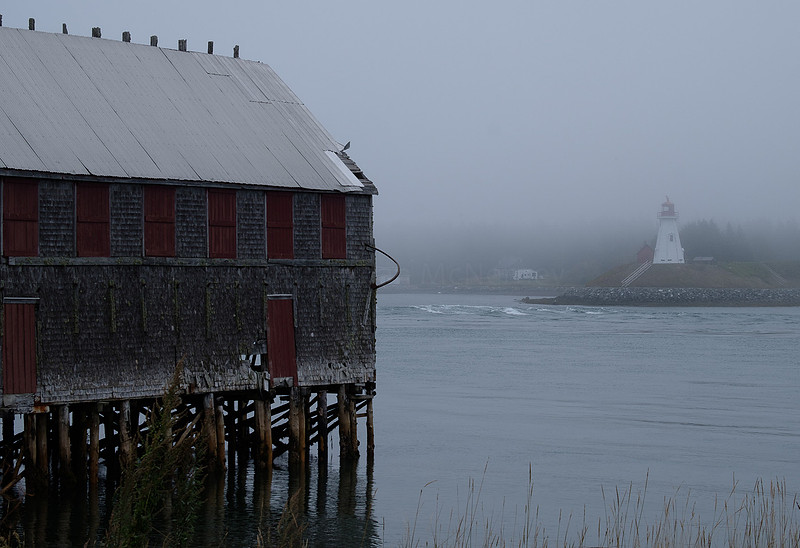
Mulholland Point Light across the channel from Lubec on Campobello Island, New Brunswick.
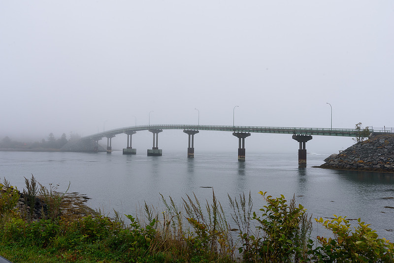
The international bridge.
Lubec has 24 - 28 foot tide differences.
Out towards Cutler:
Then further back down the coast along the Machias River between Machias and Machiasport:
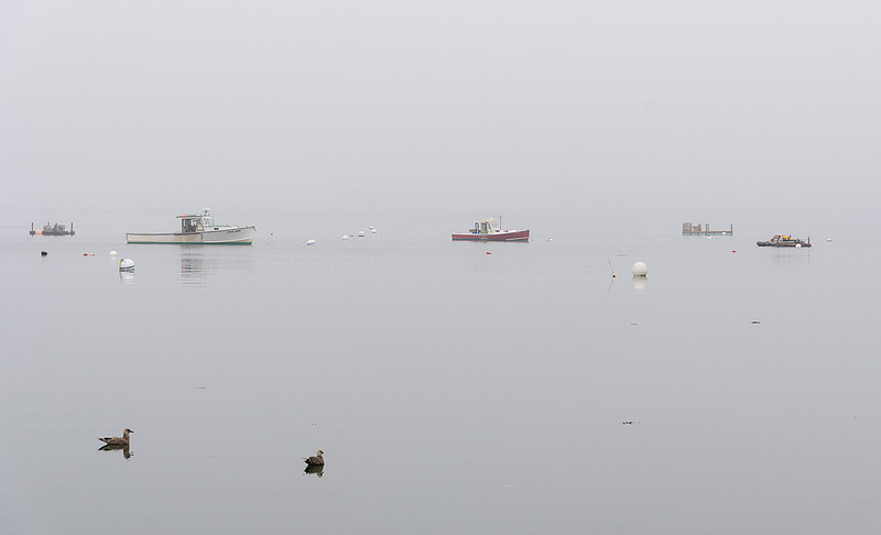
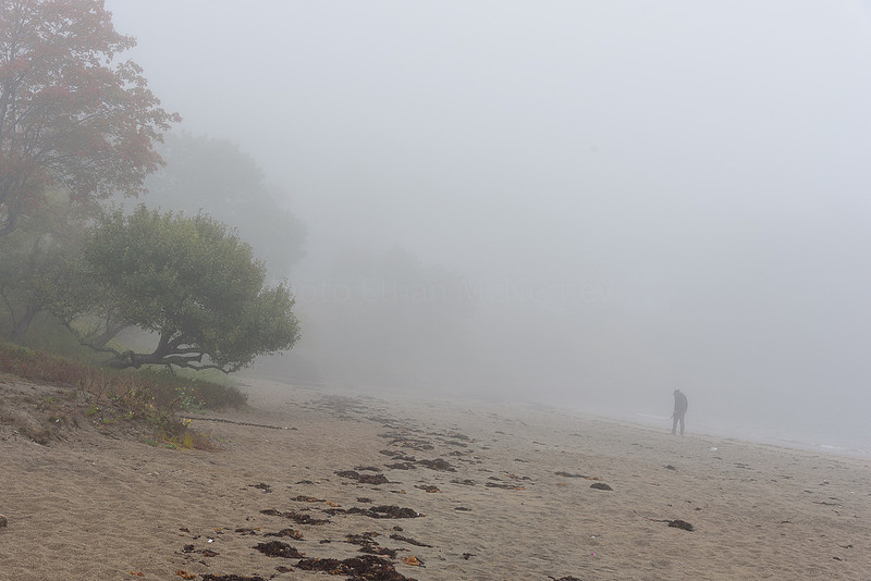
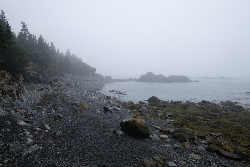
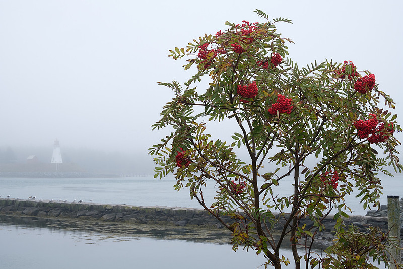
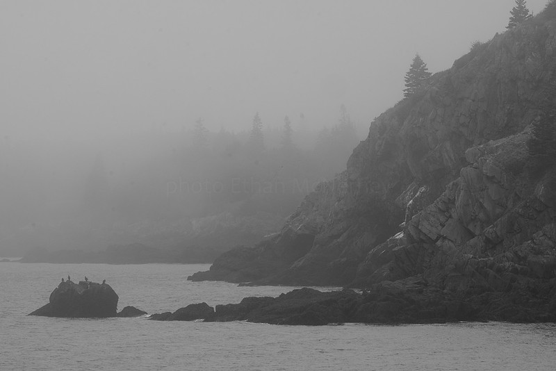
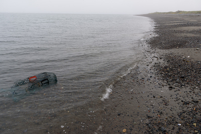
Fog. My previous visits 1, 2, were sunnier, but this was nice too.
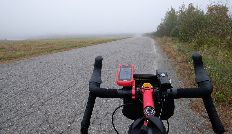
A last foggy bike ride.
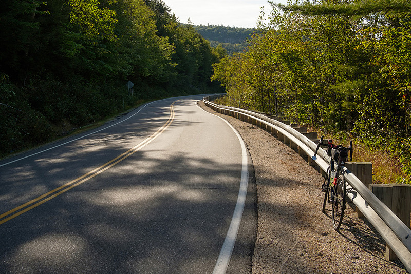
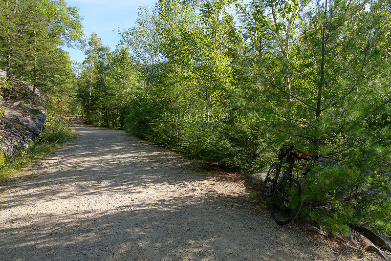
Cycling and kayaking in the White MountainsFirst cycling, but in the New Hampshire part of the White Mountains. This time it was just a short loop up the Kancamagus and back around on Passaconway Road.
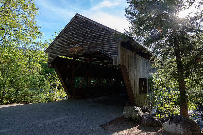
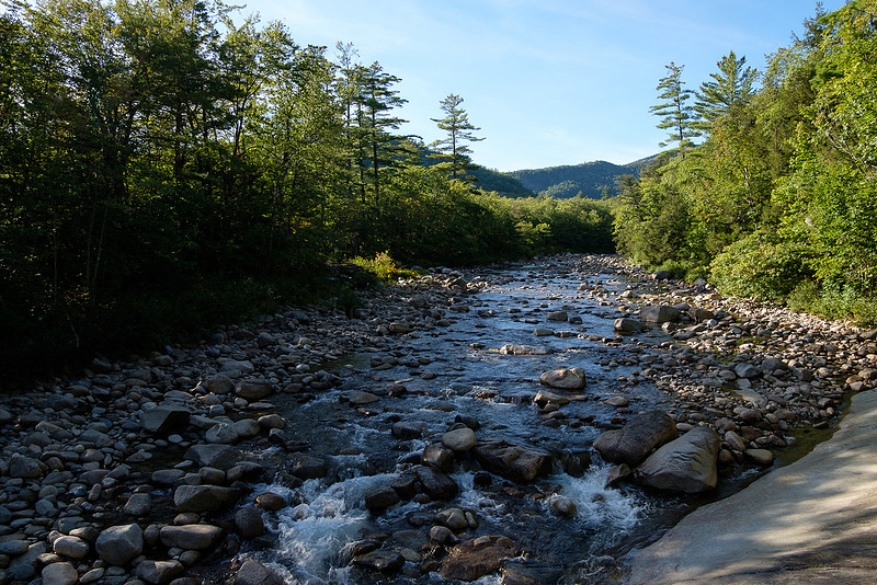
That's the covered bridge to cross the Swift River to Passaconway Rd.. It was easier crossing here than the last time I crossed the Swift River.
No, I didn't bike up this side road very far. The bike had the skinny tires (32 mm) on it. I just went up for a view of the river.
The road narrows for a while; great for cycling. An old homestead that is getting overgrown.
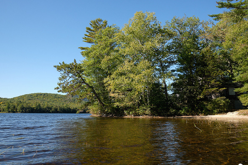
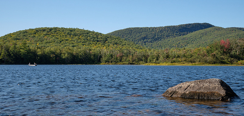
Next for kayaking in the Maine part of the White Mountains.
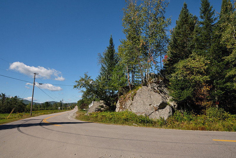
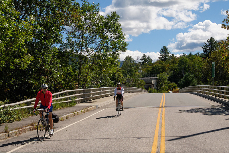
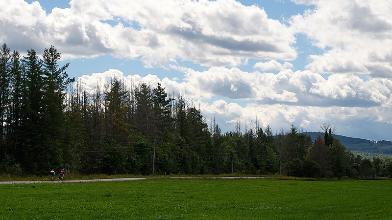
Lost Nation loopUsually you start the ride on the square in Whitefield, NH. Then you head out of town towards Jefferson.
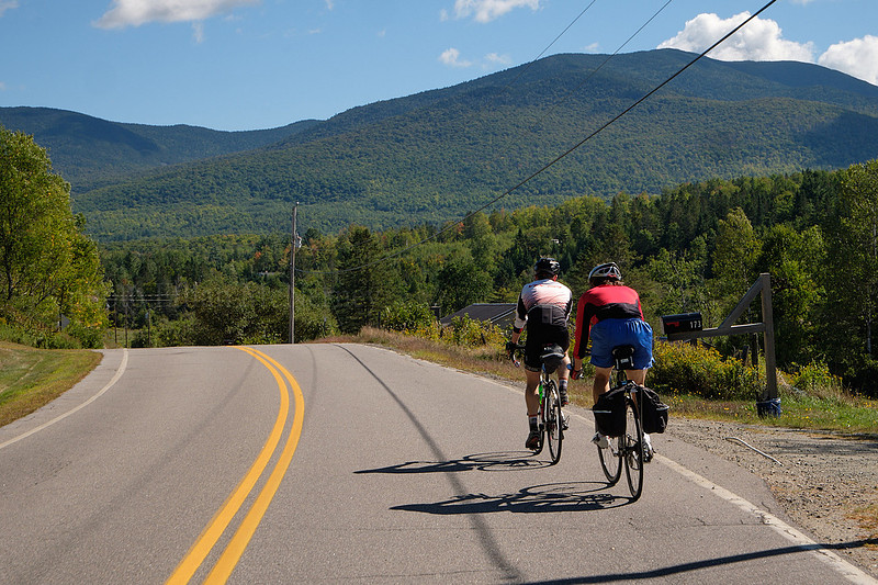
There are the northern Presidentials. Heading toward Lost Nation.
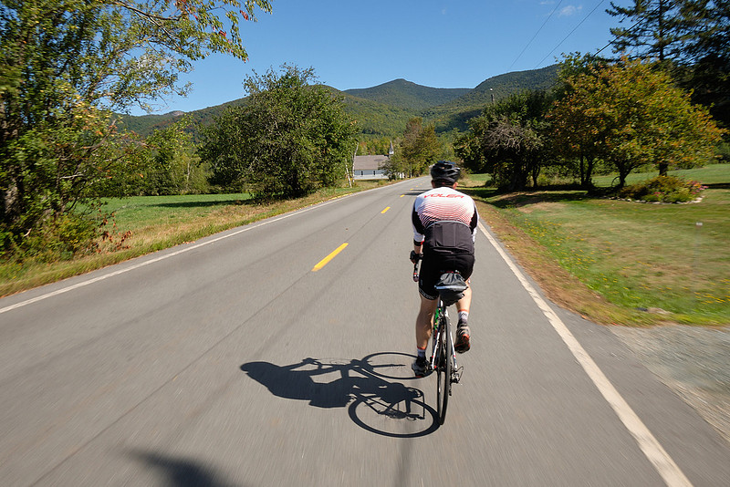
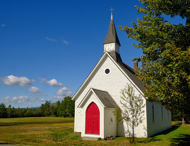
Is this the Lost Nation church?
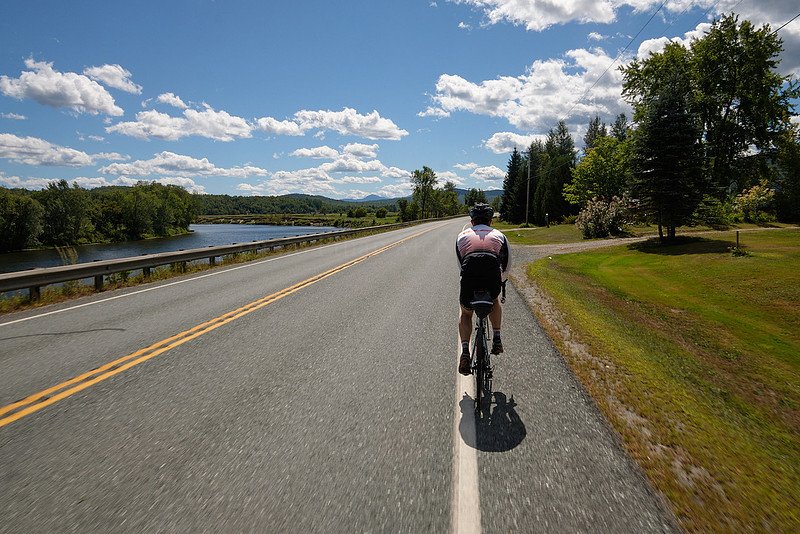
Now the Connecticut River is on your left.
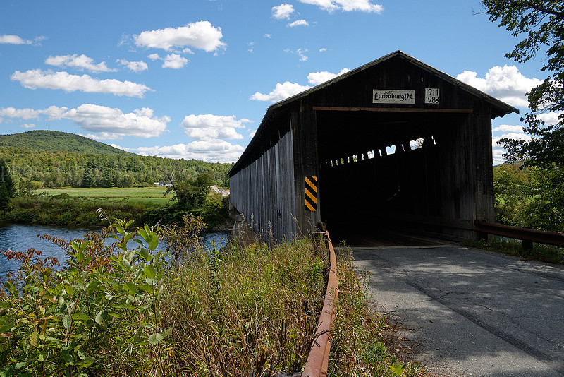
And then you cross this covered bridge back into New Hampshire.
Heading back towards Whitefield.
|
Subscribe
RSS
Archive
January
February
March
April
May
June
July
August
September
October
November
December
|