Home»Blog
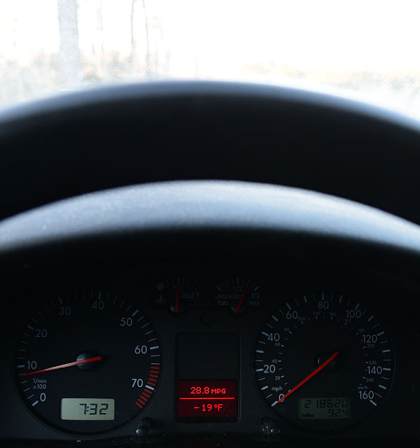
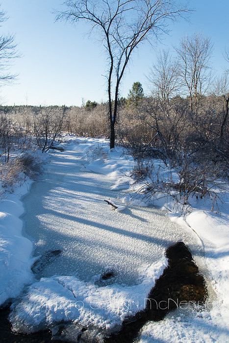
Cold
No explanation needed.
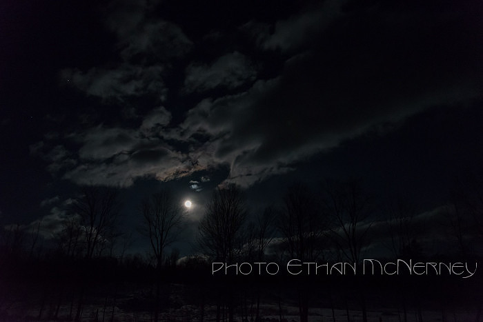
The night before:
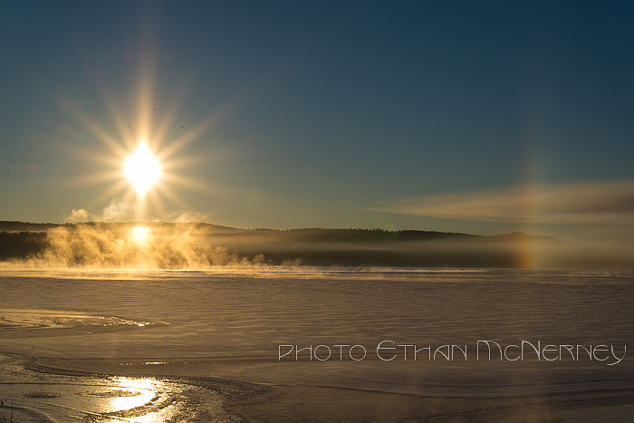
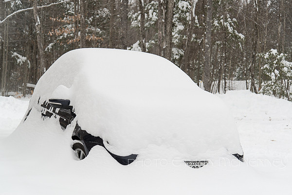
Parhelia or sundogs. I have seen them at this location, Moose Pond, Bridgton, Maine, almost yearly around this time of year. Perhaps this year they are partly influenced by the snowmaking in progress at nearby Shawnee Peak. A Real Winter SnowSo now a real snowstorm. Eight to ten inches of cold, dry powder.
Anticipating the storm.
Tracks from an early snowshoer.
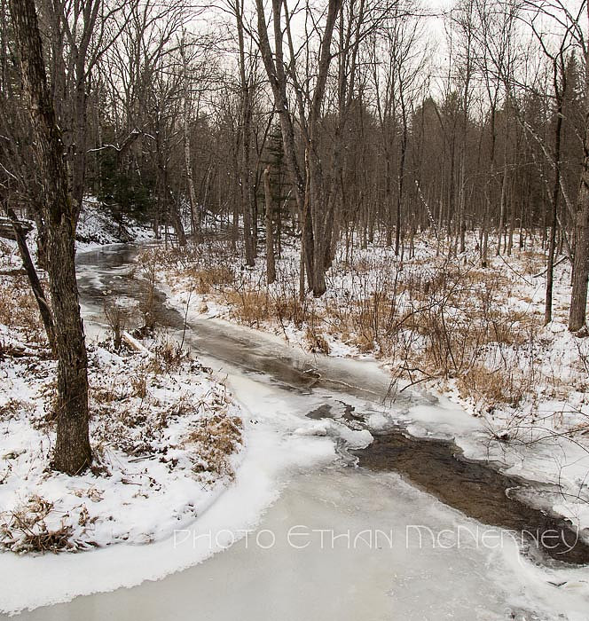
Is it Winter yet?We keep alternating between snow and no snow here.
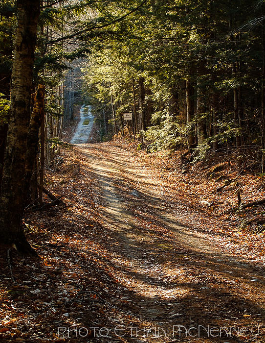
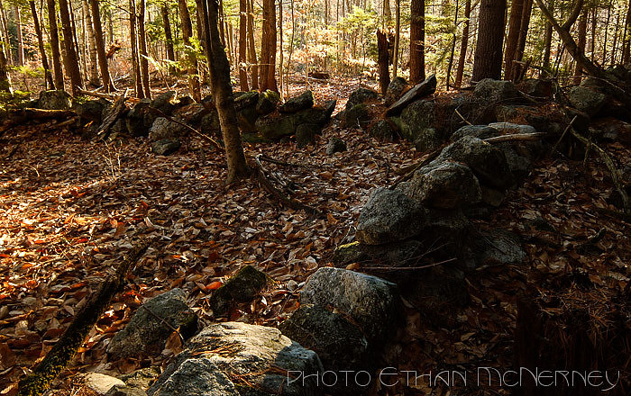
Back in antebellum times, this was a road to a settlement. Later people got tired of farming rocks and found better farmland westward.
The stone walls are a testament to their determination.
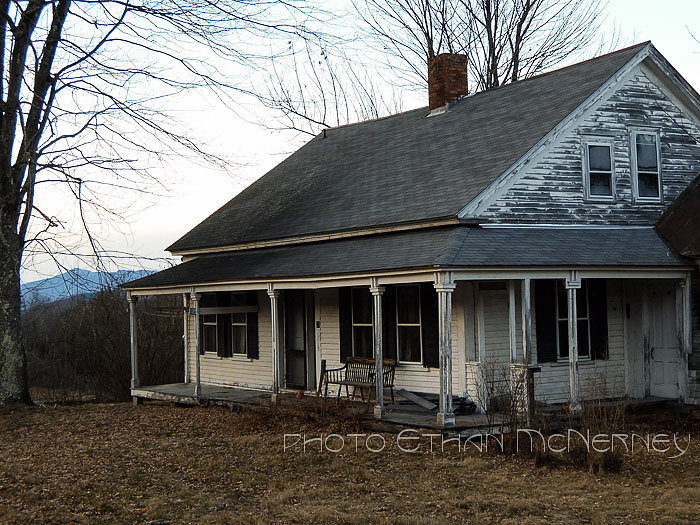
An old farmhouse in Freedom, New Hampshire.
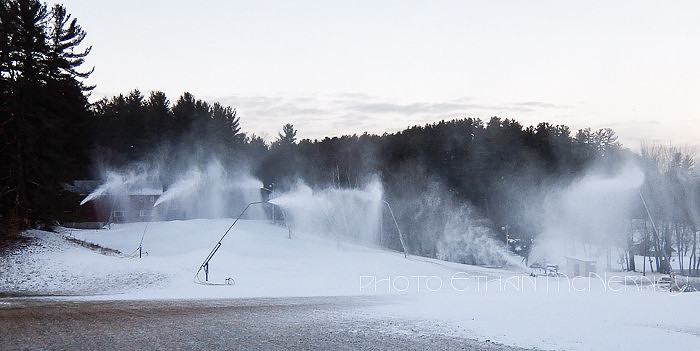
The snow-makers running in the evening at King Pine.
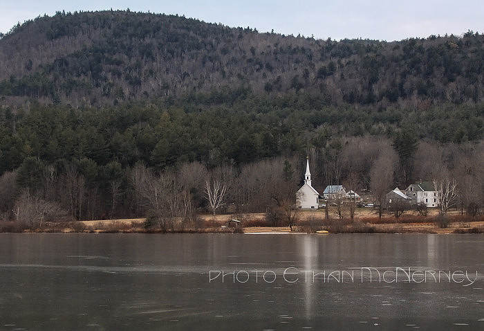
Eaton village from across Crystal Lake.
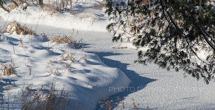
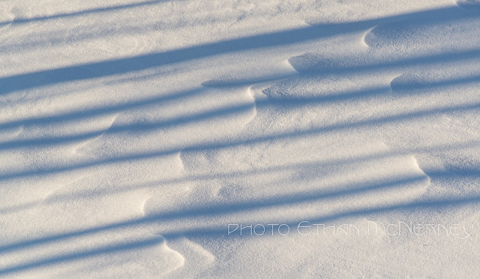
All the photos for this entry were taken with the Fuji XF1. The last image was taken in RAW format and processed in Lightroom. A taste of winterWinter is creeping in on us. Last Sunday the temperature seemed to stay at 18ºF all day and was very blustery. Here is a little snow.
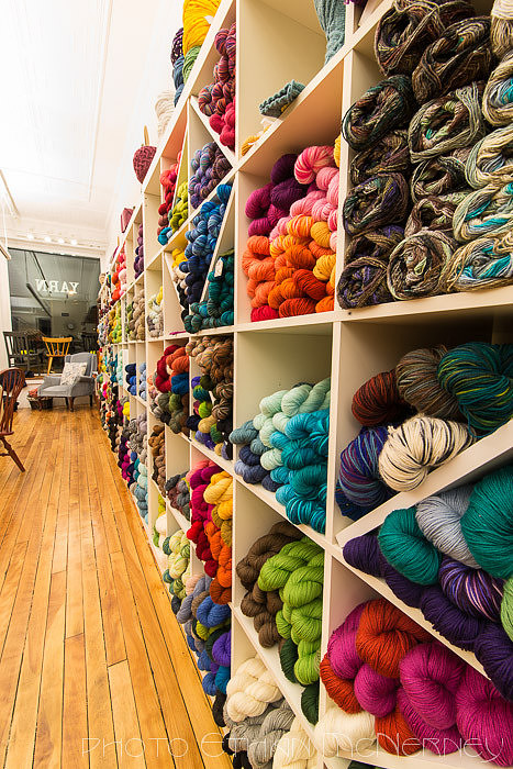
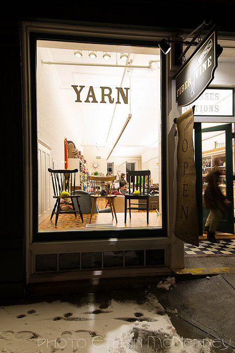
This week I had a photo assignment for Lake Living Magazine. The subject is a shop located in Norway, Maine called Fiber and Vine.
I couldn't resist all the color.
See, there is even snow on the sidewalk. Perhaps it would have been better to get there earlier when there was still some light in the sky, but you go with what is available. Instead, I used the SB-700 off-camera to provide a little light to the outside of the shop. Since these photos were intended for use on the cover, most probably will not be published. So I selected some of the ones that may not make it for the cover to show you here.
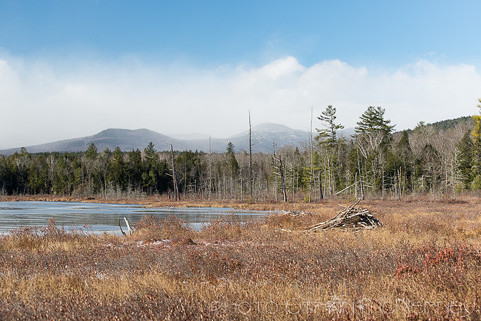
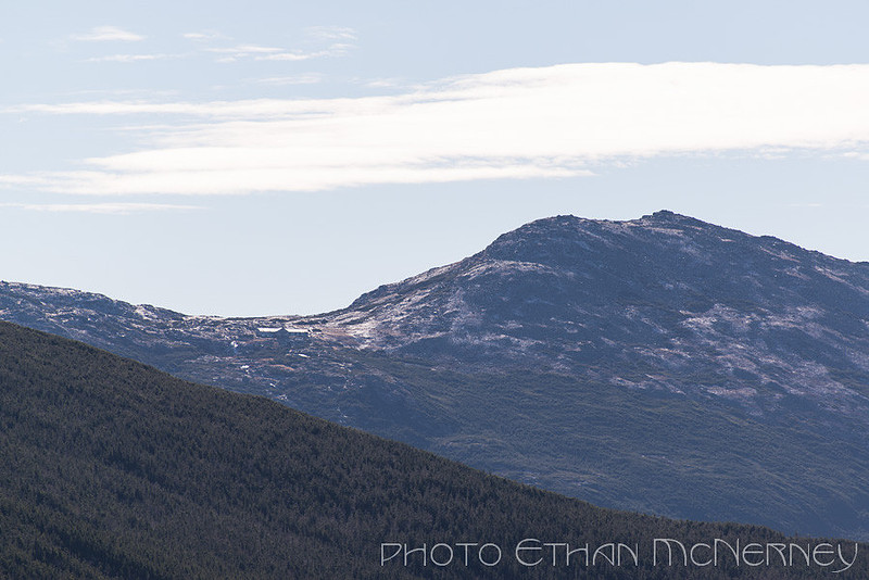
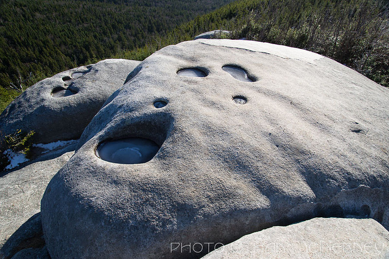
A Thanksgiving day image. Yes, that is ice on the pond and it was quite brisk. An interesting link: http://www.loc.gov/pictures/collection/fsa/ This is the photo collection from the Farm Security Administration taken in the '30's and '40's. December starts tomorrow. Mount JeffersonLast week the snow mostly melted off the Presidentials so Mount Washington lost its white blanket. Temporary of course, but with that and a few nice clear days, the urge to take advantage of the opportunity for a hike was too much. So, off to climb Mount Jefferson, the easy way from Jefferson Notch (44.267022,-71.378188) using the Caps Ridge Trail. From the trailhead you can get a glimpse of your destination. The trail starts at over 3000 feet. Because of recent blow-downs, there are plenty of opportunities for fine views even before reaching timberline. The most dramatic perhaps is at the glacial potholes. Because there are so many images, just a few will be posted here and the rest will be in a slideshow down below.
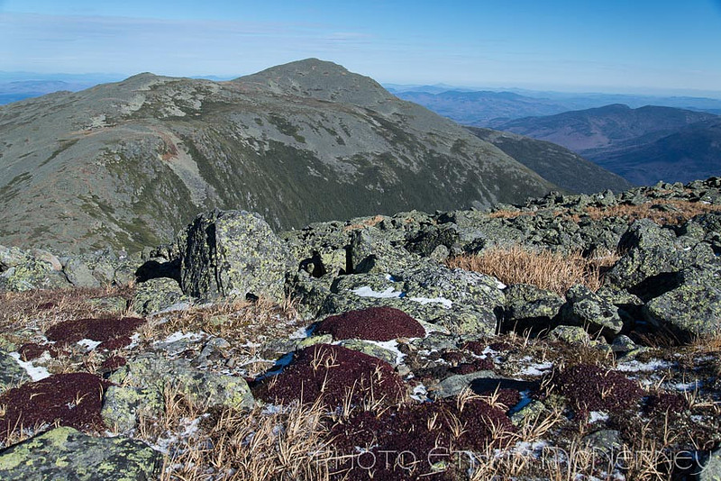
The stretch of trail over the Caps is the steep section. Above treeline and where the krummholz is absent because of the ledge, the trail markers have faded considerably. So you have to pay attention to where the route goes. The AMC guidebook mentions the three summits of Jefferson: there is no sign at the peak. The November weather was very nice. Only a dusting of snow remained, temperatures were just below the freezing point, and when sheltered from the southwest gusts, it was quite fine. It was a very quiet day without the Cog Railway running, no cars on the Auto Road, and only three other hikers. A fantastic hike.
Jefferson Notch Road.
Lake of the Clouds Hut below Mount Monroe.
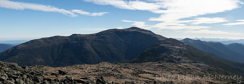
View of Mount Washington from the summit of Mount Jefferson.
Mount Adams blocks views of the valleys to the north.
Multi-image panorama of Mount Washington, Clay, Monroe, Franklin, and Eisenhower.
Glacial potholes.
Late afternoon sun on the Mount Clinton Road.
Epilogue: Since the hike, Mount Washington has again been covered with snow. Even down in the valley we received snow to greet us last Sunday morning. |
Subscribe
RSS
Archive
January
February
March
April
May
June
July
August
September
October
November
December
|